Estate Maps of Scotland, 1730s-1950s
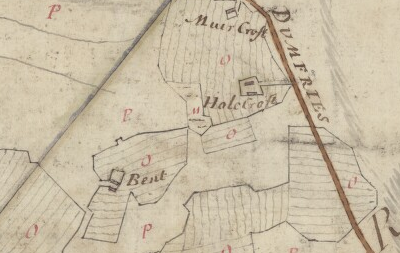
Estate maps illustrate all aspects of estate management, particularly in the countryside: the enclosure of fields and common land, drainage, embankments and the reclamation of moss and muir, new crops and new rotations, the clearance or depopulation of people, especially from upland areas, the creation of planned villages and new housing, and the development of new industries. Estate maps are primarily associated with the major era of agricultural improvement from around 1760 to 1840, and are often the most detailed maps of rural areas before Ordnance Survey mapping.
Browse Estate Maps of Scotland using a graphic index
View Named Estate Map Collections.
At present, we have coverage of these counties:
Named Estate Map Collections
Browse the following named estate map collections:
- Assynt - John Home's Survey of Assynt (1774)
- Caerlaverock - Plans of the Barony of Caerlaverock (1775-76)
- Dalswinton - A volume of maps of the several farms of the estate of Dalswinton (1768)
- Drumlanrig - Plans of the Barony of Drumlanrig (1772)
- Dunskey (Portpatrick) - Plans Dunskey Estate (1804)
- Earlstoun - Earlstoun estate plans (1769-1830)
- Earlstoun - Plans of the Property of William Forbes Esq. of Callendar (1800-1817)
- Lockharts of Lee Estate maps (1770s-1950s)
- Lovat Highland Estates maps (1750s-1960s)
- George Brown's Lordship of Lovat Estate Plans (1798-1800)
- Maxwell of Monreith Estate maps (1777-78)
- Queensberry Estate plans (1854)
- Saltoun Estate maps (1750s-1870s)
- Sanquhar - plans of the south side of Barony of Sanquhar (1766)
- Earl of Selkirk - Collection of Surveys of Scottish Estates of the Earl of Selkirk (ca. 1808-1815)
- Sutherland Estate maps (1770s-1920s)