A volume of maps of the several farms of the estate of Dalswinton, 1768
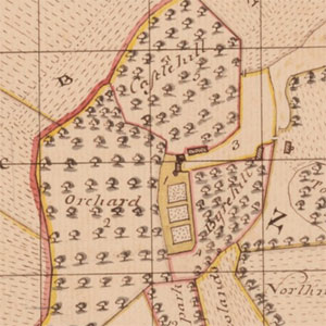
A volume of fourteen maps with accompanying abstracts / schedules, surveyed by William McCartney in 1768, for the estate of Dalswinton in Kirkmahoe parish, Dumfries-shire.
We are very grateful to the Dumfries Archival Mapping Project for scanning these maps.
Browse the plans and abstracts in their order in the original volume:
Title page - A volume of maps of the several farms of the estate of Dalswinton General Abstract Mains and Netherholms (abstract) Mains and Netherholms (map) Upper Holms (abstract) Holms (map) Drum Park (abstract) Drum Park (map) Forrest (Abstract) Forrest (Map) Townhead (Abstract) Townhead (Map) Craig (abstract) Craig (map) Crofthead (abstract) Crofthead (map) Boguehall (abstract) Boguehall (map) Leys (abstract) Leys (map) Braehead (abstract) Braehead (map) Ruletown (abstract) Ruletown (map) Smithtown (abstract) Smithtown (map) Pennyland (abstract) Pennyland (map) Common (abstract) Common (map) Signatures in reference to a deposition January 1783