Viewing georeferenced maps

Guides to viewing and re-using our georeferenced map layers within standard Geographic Information System (GIS) desktop software:
- Viewing georeferenced layers in QGIS - as XYZ / WMTS tilesets
- Viewing georeferenced layers in ArcGIS – as XYZ / WMTS tilesets
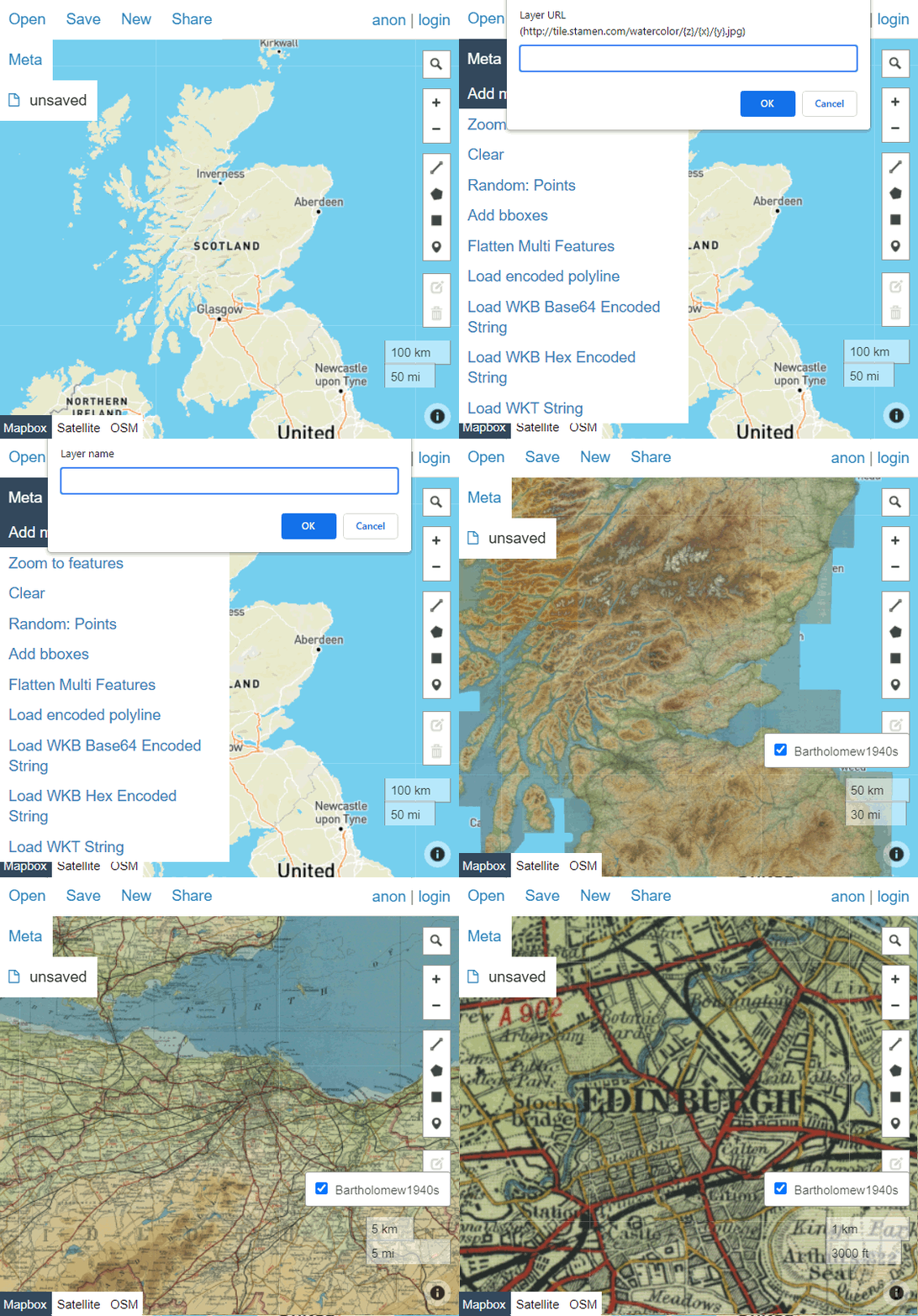
Guides to viewing our georeferenced layers within geojson.io (for easy drawing/annotation) or OpenStreetMap (for more complex drawing/annotation):
How to find URLs of georeferenced layers:
- How to find all georeferenced layer URLs - in our Georeferenced Maps viewer
- Brief georeferenced layers list - with XYZ / WMTS URLs
Re-use online
Re-use of these layers is intended within a desktop or local environement. If you wish you present these layers online in a public website, please use our Historic Maps API layers, or contact us at maps@nls.uk.
