September 2022
Viewing map datasets
Our map collections are a rich resource of information, and we are keen to promote its extraction and onward use. Once extracted, this data can be used within digital scholarship, opening up new possibilities for research, learning and creativity. We are also keen to allow the wider re-use of these spatial data resources, so they can be queried and combined with other datasets.
Please see our guide on Opening Map Datasets in QGIS for advice on how to use these layers within the free QGIS desktop software.
The GeoJSON datasets can also be opened and viewed in geojson.io.
Map datasets list
Browse map datasets, ordered below by area:
| Name (with download links) | Area | Date | Format | Data Foundry information |
| GB1900 Gazetteer | Great Britain | 1888-1913 | .CSV | GB1900 Gazetteer |
| MapReader - buildings and railspace datasets | Great Britain | 1888-1913 | .PNG,.CSV | Living with Machines: railspace and building datasets |
| Alexander Innes' Journal | Jamaica | 1823-1824 | .GeoJSON, .CSV | |
| Roy Military Survey Gazetteer | Scotland | 1747-55 | .GeoJSON, .CSV | Roy Gazetteer |
| Historic Mills Gazetteer | Scotland | ca. 1850s-1900s | .GeoJSON, .CSV | |
| Stevenson Maps and Plans | Scotland | 1660-1940 | .GeoJSON, .CSV | Stevenson Maps and Plans |
| Footpaths | Scotland | 1888-1913 | .GeoJSON, .CSV | Historic Footpaths |
| Edinburgh Boundaries | Edinburgh | 1685-1902 | ESRI .shp, .kml | Edinburgh Boundaries |
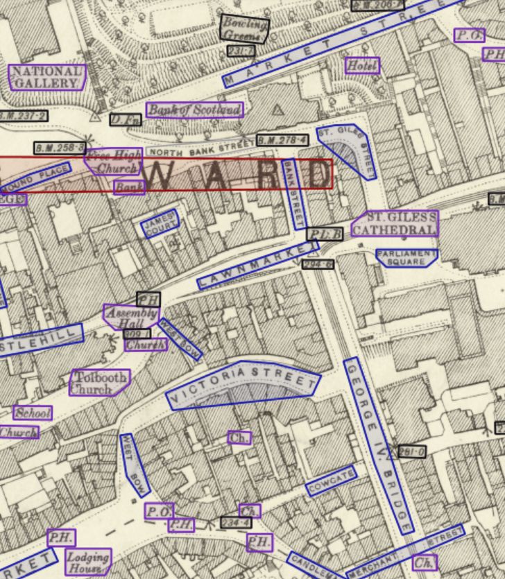
| Edinburgh Gazetteer | Edinburgh | 1892-1894 | .GeoJSON, .CSV | Edinburgh OS 25 inch transcriptions |
View related pages:
Viewing georeferenced maps guides.