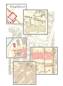
Ordnance Survey large scale Scottish town plans, 1847-1895

The most detailed maps ever surveyed by Ordnance Survey covering towns with more than 4,000 people in Scotland from the 1840s to the 1890s. Over 1,900 sheets covering 62 towns, with revised, updated editions for 14 towns.
Browse the maps:
- As individual sheets using a zoomable map of Scotland
- As a seamless zoomable overlay layer on modern satellite or road maps :
- georeferenced overlays for each town
- 1:1,056 scale - 12 towns (primarly 1840s-1850s)
- 1:500 scale - 58 towns (primarily 1850s-1890s)
- By town – text lists, with further information and graphic indexes
See also:
- Guide to abbreviations – alphabetical list of standard OS abbreviations
- Guide to symbols
- Further information
