Ordnance Survey - Quarter Inch to the Mile Maps of England, Scotland and Wales
4th Edition, (with National Grid), 1945-46. Outline Edition
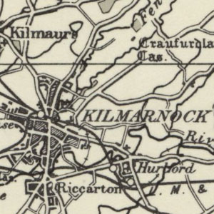
These maps at quarter inch to the mile (1:253,440) were reduced from larger-scale mapping at the half-inch and one-inch to the mile scales. These maps were substantially revised and updated from the third edition maps, particularly with new road and railway information. Their larger sheet size, allowed all of Scotland to be covered in nine sheets. The quarter-inch to the mile series provides an overview of significant landscape features, including larger settlements, railways, and roads, and were also of value for air navigation, with the location of aerodromes also shown. These maps are the earliest quarter-inch to the mile maps to show National Grid coordinates and a 10 x 10 kilometre National Grid graticule. These maps are held at: Map.Area.C18(65A) for Scotland, and at Map.Area.C17(67A) for England and Wales.
View other quarter-inch to the mile maps of Scotland or England and Wales.
- View the maps with a graphic index
View sheets covering England and Wales and Scotland.
England and Wales
| Sheet | Date of Revision | Date of Publication |
|---|---|---|
| Sheet 11 - England, South | 1930, with later corrections | 1945 |
Scotland
| Sheet Number and Name | Date of Publication |
|---|---|
| Sheet 2 - Scotland, South West | 1946 |
| Sheet 3 - The Forth, Clyde, and Tay | 1946 |
| Sheet 4 - Glasgow, and the Middle West | 1946 |
| Sheet 5 - The Eastern Highlands | 1946 |
| Sheet 6 - Skye and the Outer Hebrides | 1946 |
| Sheet 7 - Scotland North | 1946 |
| Sheet 8 and 9 - The Orkney Islands and The Shetland Islands | 1946 |