Ordnance Survey, One-inch to the mile 'Seventh Series', 1952-1973 - Further information
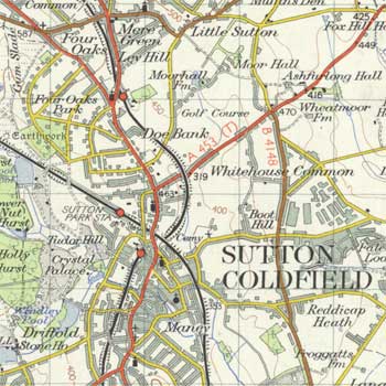
The Ordnance Survey ‘Seventh Series’ provides an excellent overview of the landscape of Great Britain in the 1950s. It was the only standard one-inch to the mile (1:63,360) uniform series to cover the whole of Great Britain, and for Ordnance Survey, it represented the final flowering of their one-inch map before its replacement in the 1970s by 1:50,000 scale mapping.
Why the 'Seventh Series'?
The OS one-inch series, which the OS Director General Sir Charles Wilson called "the standard map of the country" (1892), was first published from 1805 as the Old Series, covering all of England and Wales by 1869. A New Series, a Revised New Series, and a Third Edition followed, including Scotland as well as England and Wales. A Fourth Edition (1911-12) only covered part of SE England, but the Popular edition published in the 1920s, covered both Scotland and England and Wales. The Fifth Edition in the 1930s only covered part of England and Wales, whilst the New Popular / Popular with National Grid (as a sixth edition), provided countrywide coverage in the 1940s. At first the 'Seventh Series' was known as the 'Seventh Edition', but it was altered to 'Seventh Series' to conform better with certain military and international standards, with a ‘series’ referring to new sheet lines, and an ‘edition’ referring to successive versions of individual sheets on the same sheet lines.
Content
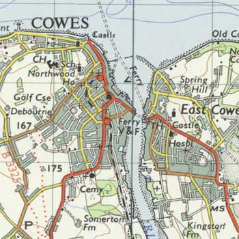
The one-inch to the mile map was a standard topographic authority and included a wide range of information on the physical and human landscape: land-use, industry, quarries, farms, inns and pubs, roads, railways, canals, parks and gardens, relief, and woodland. The one-inch series had military and civilian purposes behind it, and was of value too for official, administrative, scientific and recreational users. According to an OS circular of 1909, it was intended as a 'touring, cycling and small-scale manoeuvre map, [with] the primary object being that the average man should be able to find his way about unfamiliar country with ease' (quoted in Oliver (2005, p.47)). Essentially the one-inch was a general map, supplementing the main record of landscape change at the larger basic six-inch and 25-inch to the mile scales, so that minor changes may not appear even on full revision. The one-inch maps were of course considerably generalised compared to the six-inch maps, and necessarily selective, particularly regarding urban detail, buildings, towns and place-names. But by giving coverage of a wider area than the basic larger scales, the series is particularly useful in showing an overview of significant landscape features such as urban areas, roads and railways, and patterns of woods, orchards and formal parkland, as well as areas of rough pasture ground.
The ‘Seventh Series’ maps depicted a number of distinctive categories of information:
- more categories of road were shown than on the New Popular, including motorways, trunk roads, class 1 and class 2 main roads, minor roads, and untarred / unmetalled roads.
- more categories of railway were shown than on the New Popular, including multiple track, single track and narrow gauge railways.
- contours were shown at 50 foot intervals in brown, along with spot heights in feet above mean sea level. From 1953, spot heights were distinguished between more accurate heights surveyed by levelling, and those which has not.
- National, county and parish boundaries were shown with different styles of black line.
- footpaths and tracks were shown with a black dashed line. From 1960, some sheets started to also include public rights of way (shown in red) from the growing local authority Definitive Maps of Public Rights of Way.
- antiquities were initially distinguished by font style into pre-Roman, Roman, and post-Roman antiquities; this was simplified to just Roman and other from 1958.
- significant visible buildings such as churches, towers, aerials, windmills, and lighthouses were included, as on earlier one-inch maps, as well as the location of post offices and telephone boxes.
View a Guide to symbols – a zoomable OS 'Seventh Series' Legend / Key.
Colours and lettering
Following initial experiments in 1948-52, the standard ‘Seventh Series’ maps were printed in ten colours:
- Outline and names, black
- Water outline and names, blue
- Contours, brown
- Water infill, reduced blue
- Wood infill, green
- Building infill, ‘reduced grey’
- First class roads, red
- Second class roads, ‘buff’
- Third class roads, ‘golden chrome’ yellow
- Vegetation symbols and grid, grey
From 1961 onwards, this gave way to a six-colour scheme, amalgamating the blue, brown and black/grey categories.
The earliest sheets used hand-lettering for names, but as letterpress lettering was much quicker, the latter was adopted from 1951.
Compilation and revision of real-world information
The main initial source of information used for the ‘Seventh Series’ was the most up-to-date of the OS six-inch maps, dating from ca. 1899 to 1939, supplemented where possible by air photographs and a growing number of National Grid sheets at 1:2,500 and 1:1,250 scale. A variety of non-OS information sources were also consulted including Admiralty charts, British Rail timetables, information from the National Trust, and the Youth Hostels Association. The six-inch plots were updated in the field with all information necessary for the one-inch scale, and reductions at 1:25,000 (for the 1:25,000 Provisional Series) and 1:40,000 were produced with the new information. The result is that the newly revised ‘Seventh Series’ maps are generally of greater value to the historian as a source of general landscape information, being more internally consistent than the six-inch and 1:25,000 sheets based on different dates of revision for particular features.
Following initial publication, sheets were revised, often based on ‘intermediate revision’ and should be treated with more caution, as the revision process was selective for particular features. Roads and railways, for example, may not have been fully revised. Many of the early ‘Seventh Series’ sheets show revision diagrams in their lower-left margin indicating specific areas revised in different ways or at different times.
Sheet sizes
Unlike the earlier one-inch series which had covered Scotland separately from England and Wales, the ‘Seventh Series’ was laid out as 190 sheets covering the whole of Great Britain, numbered from north to south.
Standard sheets were 45 km x 40 km, with neatline extents of ca. 71 cm x 64 cm (height x width), on sheets ca. 89 x 74 cm.
Other editions
For our website, we have so far scanned all our out-of-copyright editions of the ‘Seventh Series’ maps, published from 1952-1970. There were later editions of all sheets, and in some cases several later editions - Oliver (2004) provides a detailed listing of these. There were also an outline edition (printed in black), military editions (GSGS 4620, later M722), indexes to larger-scale maps, and tourist editions.
Further information
Richard Oliver, A guide to the Ordnance Survey one-inch Seventh Series (London: Charles Close Society, 2004)
Richard Oliver, Ordnance Survey Maps: a concise guide for historians (London: Charles Close Society, 2005)