Ordnance Survey, One-inch to the mile maps of Great Britain - Seventh Series, 1954-1965
Index showing sheet lines of the 1:2500 County Series related to the National Grid
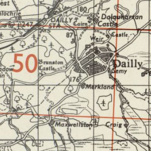
This set of maps was produced to provide an index to the sheetlines of the pre-Second World War Ordnance Survey large-scale County Series (in red), as well as the post-War National Grid maps (in black). The maps were produced using the Ordnance Survey Seventh Series as background mapping. View Regular / Coloured, and Outline / Uncoloured Seventh Series maps.
- View the Seventh Series maps with a graphic index.
- View all one-inch maps with a graphic index.
See also:
- Further information about the Seventh Series
- Guide to symbols – a zoomable OS 'Seventh Series' Legend / Key.