Estate Maps, 1750s-1900s
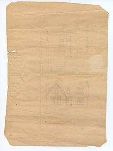
| Title: | Kaimend. Plan and elevation of a sketch for a house. |
| Imprint: | late 19th century |
| Pagination: | 1 map; 37 x 26 cm |
| Shelfmark: | MS.27743 |
| Notes: | This map is from our Lockharts of Lee Estate mapping collection. |
| Zoom Into Map: | Click on the map to view in greater detail. |