Estate Maps, 1750s-1900s
| Name: | Jack, Robert |
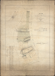
| Title: | Plan of the lands of Westhall and Hills of Dunsyre: 1848. |
| Imprint: | 1848 |
| Pagination: | 1 map; 92 x 67 cm |
| Shelfmark: | MS.27650 |
| Notes: | This map is from our Lockharts of Lee Estate mapping collection. |
| Zoom Into Map: | Click on the map to view in greater detail. |