County maps, 1580s-1950s
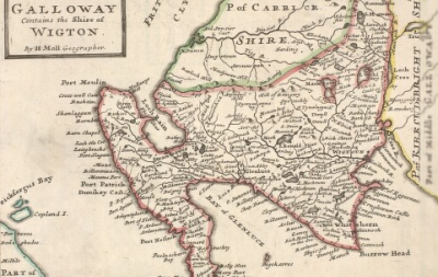
Maps of the whole county or region, providing an overview of the physical and human landscape. For more detailed maps of rural areas, see estate maps or Ordnance Survey maps from the 1840s. The principal content relates to counties in Scotland, with a small coverage of counties in northern England.
(listed chronologically)
- Further information on this group of maps.
- Browse county maps using a graphic index
(Select county below to see maps of the county)