Canal plans of Scotland, 18th-20th centuries
| Field | Content |
|---|---|
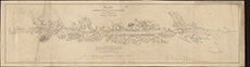
| Name: | Lizars, W. H. (William Home), 1788-1859 |
| Title: | Map or chart of the Caledonian Canal, or Inland Navigation from the Western to the Eastern Sea by Inverness and Fort William. |
| Imprint: | [S.l., ca. 1850] |
| Pagination: | 1 map ; 19 x 115 cm |
| Shelfmark: | EMS.s.719 |
| Zoom Into Map: | Click on the map to view in greater detail. |