Canal plans of Scotland, 18th-20th centuries
| Field | Content |
|---|---|
| Name: | Her Majesty's Stationery Office |
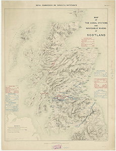
| Title: | Map of the canal systems and navigable rivers of Scotland. |
| Imprint: | London : H.M.S.O., 1907 |
| Pagination: | 1 map ; 809 x 650 mm. |
| Shelfmark: | Map.Area.C18(103) |
| Zoom Into Map: | Click on the map to view in greater detail. |