Town Plans / Views, 1580s-1940s
| Field | Content |
|---|---|
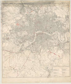
| Name: | Davies, Benjamin Rees. |
| Title: | Davie's new map of the British Metropolis [shewing] the boundaries of the boroughs, county court districts, railways and modern improvements. |
| Imprint: | London : E. Stanford, 1882. |
| Pagination: | 1 map ; 944 x 853 mm. |
| Shelfmark: | Map.l.28.39 |
| Zoom Into Map: | Click on the map to view in greater detail. |
| Notes: | Scale 1:21,848 |