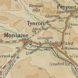
Bartholomew's Quarter-inch to mile map of Scotland, 1911-1932

This attractive series by John Bartholomew & Son at Quarter-inch to the mile scale (1:253,440) covered Scotland in seven sheets, numbered from north to south. The maps were reduced from Bartholomew's half-inch to the mile maps, with similar inclusions of main roads and railways, as well as showing relief with Bartholomew's typical layer-colouring. Sheets were issued at regular intervals from 1911 through to 1932, and have been dated below, where possible, using print codes. The maps provide a clear overview of the wider regional landscape, useful particularly for showing communications.
- View the maps with a graphic index of Scotland
These maps are held at the shelfmark: Map.s.185.
