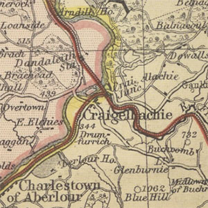
Bartholomew's Reduced Ordnance Maps of Scotland, 1875-1891

Bartholomew's initial half-inch to the mile maps (1:126,720), were printed as stand-alone sheets known as 'District Sheets', which covered the whole of Scotland by 1886. The sheets were then revised into an ordered set of 30 sheets covering Scotland in a regular format, shown below. This was first published under the title Bartholomew’s Reduced Ordnance Survey of Scotland. Special District maps were also published of popular areas, ca. 1891. Updates of these half-inch maps formed the principal content for Bartholomew's Survey Atlas of Scotland published in 1895. The sheets were revised again for the New Series covering Scotland (1899-1905).
- View the maps with a graphic index of Scotland
These maps are held at the shelfmark: Map.s.68.
Special District Maps
These maps are held at the shelfmark: Map.s.213.13.
| Sheet Number and Name | Date of Publication |
|---|---|
| Kirkcudbright | ca. 1891 |
| Hawick & Border District | ca. 1891 |
| Edinburgh District | ca. 1891 |
| Loch Lomond and Trossachs [Tourist's & Sportsman's Series] | ca. 1891 |
| Loch Lomond and Trossachs | ca. 1891 |
| Oban & Loch Awe District | ca. 1891 |
| Central Perthshire District | ca. 1891 |
| Upper Spey and Braemar | ca. 1891 |
| Arisaig District | ca. 1891 |
| Stornoway and Outer Hebrides | ca. 1891 |
| Caithness | ca. 1891 |
