Canal plans of Scotland, 18th-20th centuries
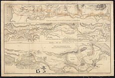
| Title: | Printed plan, 1815. |
| Imprint: | 1815 |
| Pagination: | 1 map ; 33 x 48 cm. |
| Shelfmark: | Acc.10706 No.274 |
| Notes: | This map is from our Stevenson civil engineering plans collection. |
| Zoom Into Map: | Click on the map to view in greater detail. |