Estate Maps, 1750s-1900s
| Name: | Ordnance Survey |
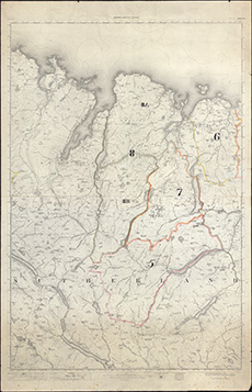
| Title: | Sale Plan, 1919. Tongue sheet, 114. Annotated 1 inch 3rd edition OS maps |
| Pagination: | 1 map ; 104 x 67 cm |
| Shelfmark: | Acc.10225/324 |
| Notes: | We are very grateful to Sutherland Estates for permission to display this map on our website. Sutherland Estate mapping home page. |
| Zoom Into Map: | Click on the map to view in greater detail. |