Counties of Scotland, 1580s-1960s
| Field | Content |
|---|---|
| Name: | Ainslie, John, 1745-1828 |
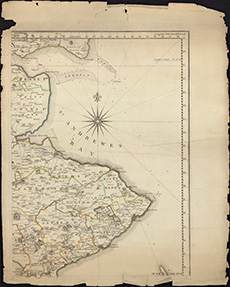
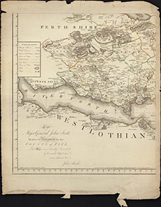
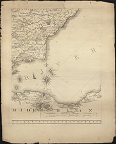
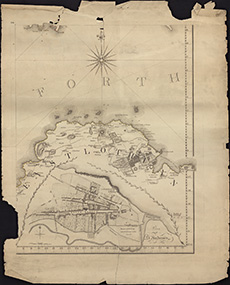
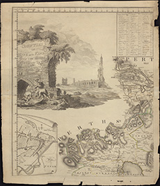
| Title: | The Counties of Fife and Kinross with the rivers Forth and Tay / survey'd & engraved by John Ainslie. |
| Imprint: | 1775. |
| Pagination: | 1 map on 6 sheets (1 missing); sheets 59 x 46 cm. |
| Shelfmark: | Signet.s.031 |
| Notes: | We are very grateful to the WS Society for their permission to display this map online. |
| Zoom Into Map: | Click on the maps below to order image or view in greater detail. |
(sheet missing)