Estate Maps, 1750s-1900s

| Name: | Gordon, David, 1820-1893 |
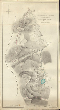
| Title: | Plan of the Portion of the March betwixt Strathfarrar and Lochalsh which is disputed by the Proprietor of the Latter, 1850 |
| Imprint: | 1850 |
| Pagination: | 1 manuscript map: col.; 99 x 54 cm. |
| Shelfmark: | Lovat223 |
| Notes: | ?Shows the disputed march in the hill land between Glen Cannich and Glen Strathfarrar Scale 1:6336. (20 chains = 2.5" ). Courtesy of Lovat Highland Estates and the North of Scotland Archaeological Society. View Lovat Highland Estates mapping |
| Zoom Into Map: | Click on the map to view in greater detail. |