Estate Maps, 1750s-1900s

| Name: | Ordnance Survey |
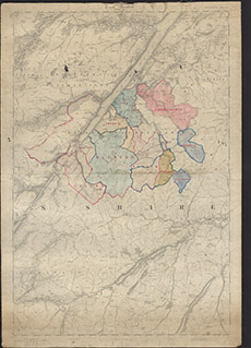
| Title: | Ordnance Survey of Scotland Fort Augustus Sheet 73. |
| Imprint: | 1875 |
| Pagination: | 1 map: col.; 97 x 68 cm. |
| Shelfmark: | Lovat016 |
| Notes: | A standard 1st edition OS map on which boundaries have been drawn, and some areas coloured. Scale 1:63360. (1" = 1 mile ). Courtesy of Lovat Highland Estates and the North of Scotland Archaeological Society. View Lovat Highland Estates mapping |
| Zoom Into Map: | Click on the map to view in greater detail. |