Estate Maps, 1750s-1900s

| Name: | Wilson, Gavin (dates??) |
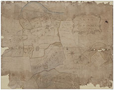
| Title: | Plan of the lands of Cowhill belonging to Dougal Maxwell Esq |
| Imprint: | 1760 |
| Pagination: | 1 manuscript map: col.; 192 x 244 cm. |
| Notes: | Courtesy of Mr Percy Weatherall through the Dumfries Archival Mapping Project. |
| Zoom Into Map: | Click on the map to view in greater detail. |