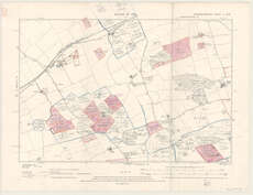
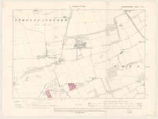
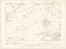
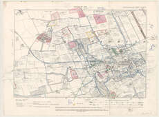
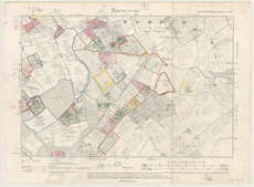
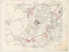
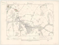
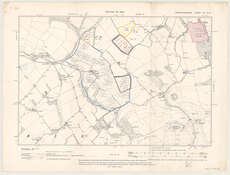
Estate Maps, 1730s-1950s
| Field | Content |
|---|---|
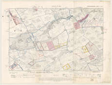
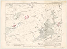
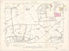
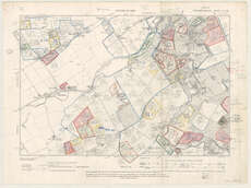
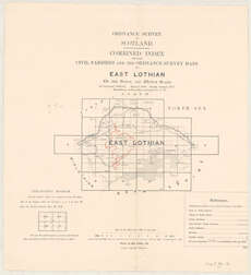
| Name: | National Farm Survey. |
| Title: | [Crops grown on the farm of East Bearford, the property of John S. Elder, 1939-40] |
| Imprint: | [1939-1940] |
| Pagination: | 12 maps : col. ; 31 x 46 cm. |
| Shelfmark: | Map.l.84.13 |
| Notes: | Compiled for the Agricultural Executive Committee for East Lothian of the National Land Survey.; Manuscript annotations on 6" O.S. County Series base maps, 1908-09 with a range of reprint dates. |
| Zoom Into Map: | Click on the maps below to order image or view in greater detail. |