Town Plans / Views, 1580s-1940s
| Field | Content |
|---|---|
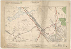
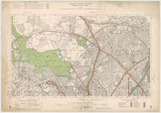
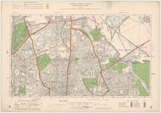
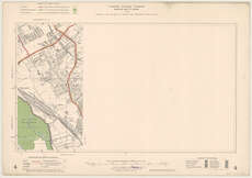
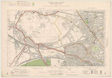
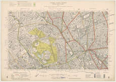
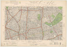
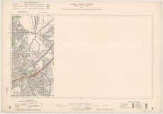
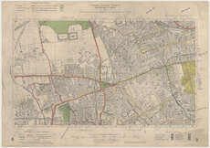
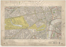
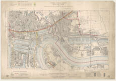
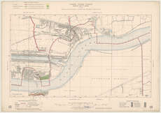
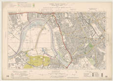
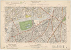
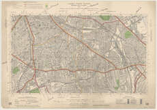
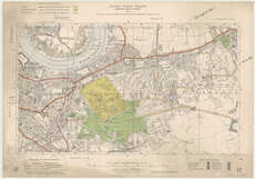
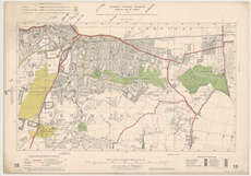
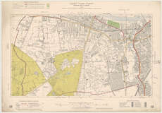
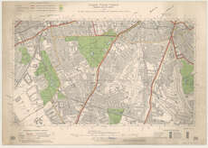
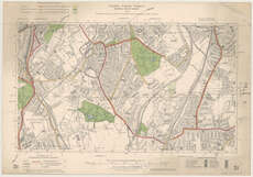
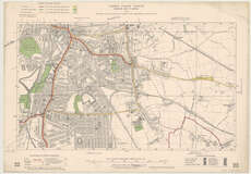
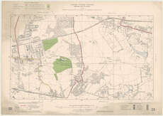
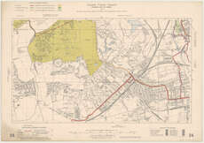
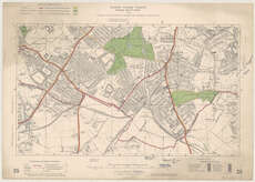
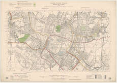
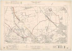
| Title: | London County Council Municipal Map of London. |
| Imprint: | London : London County Council, 1913. |
| Pagination: | 1 map on 28 sheets. |
| Shelfmark: | Map.l.83.43 |
| Notes: | Scale 1:10,560 Incomplete, wanting sheet 11. |
| Zoom Into Map: | Click on the maps below to order image or view in greater detail. |
 |
 |
 |
 |
|
 |
 |
 |
 |
|
 |
 |
 |
 |
|
 |
 |
 |
 |
 |
 |
 |
 |
 |
 |
 |
 |
 |
 |