Town Plans / Views, 1580s-1940s
| Field | Content |
|---|---|
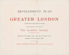
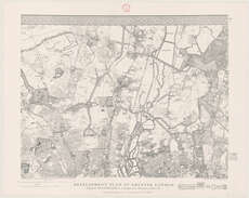
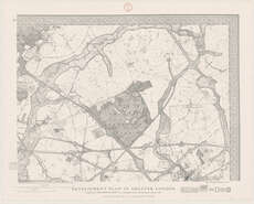
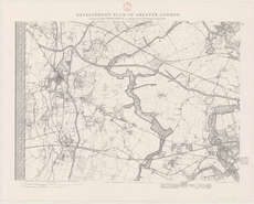
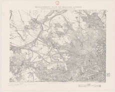
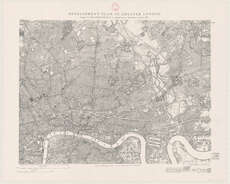
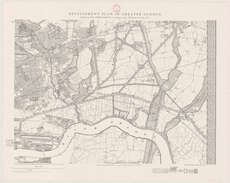
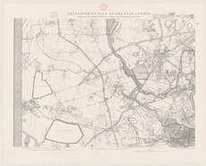
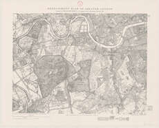
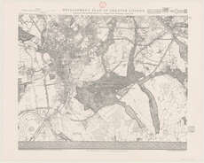
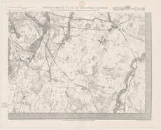
| Name: | London Society. |
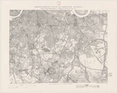
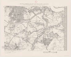
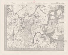
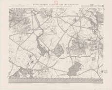
| Title: | Development plan of Greater London ... / prepared during the Great War 1914-18 by the London Society, etc. |
| Imprint: | London : E. Stanford Ltd., 1919. |
| Pagination: | 16 sh. + Title sheet & key map. |
| Shelfmark: | Map.l.32.24 |
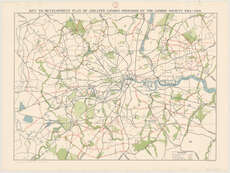
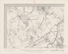
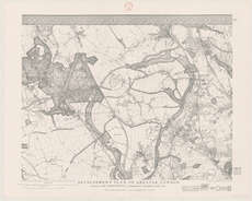
| Notes: | Scale [1:21,120] Key map is at scale [1:63,360] |
| Zoom Into Map: | Click on the maps below to order image or view in greater detail. |
 |
 |
||
 |
 |
 |
 |
 |
 |
 |
 |
 |
 |
 |
 |
 |
 |
 |
 |