Town Plans / Views, 1580s-1940s
| Field | Content |
|---|---|
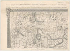
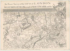
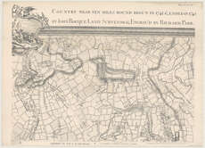
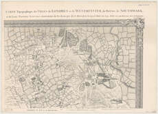
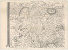
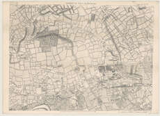
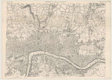
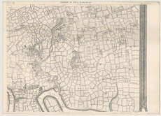
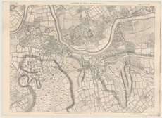
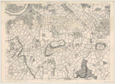
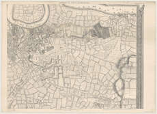
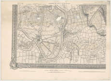
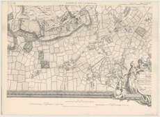
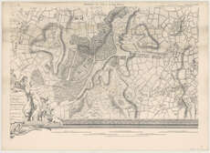
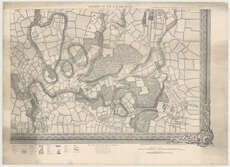
| Name: | Rocque, John. |
| Title: | An exact survey of the city's of London Westminster ye Borough of Southwark and the country near ten miles round; begun in 1741 & ended in 1745 / by John Rocque; and engrav'd by Richard Pan, 1746. |
| Imprint: | London : E. Stanford, 1878. |
| Pagination: | 1 map on 16 sheets. |
| Shelfmark: | Map.l.25.47 |
| Notes: | Scale 1:11,955 mm. A photolithographic reproduction of the original map. |
| Zoom Into Map: | Click on the maps below to order image or view in greater detail. |