GREMLIN

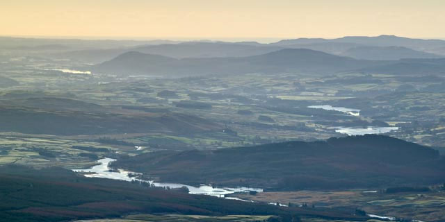
Glenkens from Cairnsmore of Carsphairn courtesy of Ted Leeming

Glenkens from Cairnsmore of Carsphairn courtesy of Ted Leeming
Introduction
GREMLIN is the Glenkens Rectified Estate Mapping and Land use Information Network. The GREMLIN map viewers allow maps and land use to be compared over the last 200 years for the Earlstoun and Holm Estates in the parishes of Balmaclellan, Dalry, and Kells in the Glenkens, Galloway. ( Read further details )
Map Viewers
Information
- Read about Land Use

Towards the Rhinns courtesy of Ted Leeming

Towards the Rhinns courtesy of Ted Leeming
Project
This is a collaborative project between the Dumfries Archival Mapping Project, the Galloway Glens Landscape Partnership, and the National Library of Scotland. View Project GREMLIN startup press release (March 2023) and final press release (July 2023).


