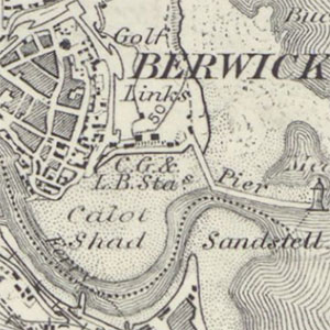
Ordnance Survey, One-inch to the mile maps of Scotland, 4th Edition - 1910

The one-inch 4th edition of Scotland was planned as a national series in 132 sheets, but only one sheet in the series was ever published. This was Sheet 26, covering a small portion of Berwickshire and Roxburghshire, with the rest of the sheet covering England and left blank. Survey information was from the third national revision of 1910. The one-inch series is particularly useful in showing an overview of significant landscape features such as towns and villages, roads and railways, as well as forestry and land-use.
- View the One-Inch Engraved Maps maps with a graphic index.
- View all one-inch maps with a graphic index.
- View a list of the One-inch 1st Edition, 2nd Edition or 3rd Edition maps.
- Further information on this group of maps.
| Sheet Number and Name | Edition | Dates | Shelfmark |
|---|---|---|---|
| Sheet 26 - Berwick Upon Tweed | Scotland. 4th Edition | Surveyed: 1856 to 1859, Revised: 1910, Published: 1912 | Signet.s.134 |
| Sheet 26 - Berwick upon Tweed | Scotland. 4th Edition. Black outline | Surveyed: 1856 to 1859, Revised: 1910, Published: 1912 | Map.Area.C18(23B) |
