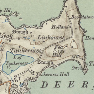
Ordnance Survey - Half-Inch to the mile (hill-shaded) - 1908-1918

The Ordnance Survey began working on a series of maps at the half-inch to the mile scale (1:126,720) from 1902, with topographic content derived from the main nationwide revision of maps at the larger-scales from the 1890s. The initial driver behind the series was a military one, but it was recognised that the scale had a steadily growing public value particularly for cyclists and motorists. For this series, relief was shown by hachures, but Ordnance Survey also produced a set of half-inch maps with relief shown by layer colours. For some maps, as noted below, there were subsequent revisions of roads and railways which resulted in updated maps being produced; these often carry details of these road and railway revisions in the sheet marginalia, but with the same publication dates. We have scanned all our sheets of this series, which were received by the Library in a folded form.
- View the maps with a graphic index of Scotland
- View the maps as a seamless layer on a satellite image base
Standard series
(See also, Special District Maps).
Special District (Relief) Map
| Sheet Number and Name | Date of Revision | Date of Publication | Notes |
|---|---|---|---|
| Island of Skye: Special District (Relief) Map | 1926-1928 | 1932 |
