County maps, 1580s-1950s
| Field | Content |
|---|---|
| Name: | Robertson, James, fl. 1810-1829 |
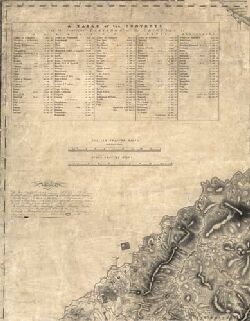
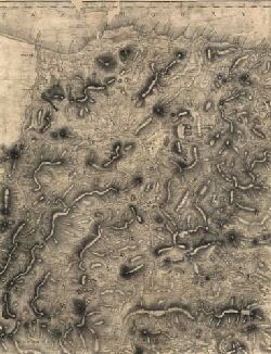
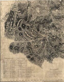
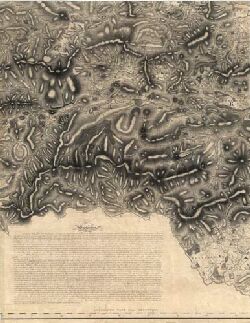
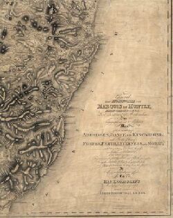
| Title: | Topographical and military map of the counties of Aberdeen, Banff and Kincardine. |
| Imprint: | London : s.n., 1822 |
| Pagination: | 1 map on 6 sheets ; 1727 x 2057 mm., sheets 866 x 691 mm. |
| Shelfmark: | EMS.s.46A |
| Notes: | Read a biography of James Robertson (1753-1829), and his related mapping of Jamaica, as well as the background and Court of Session action relating to this map. |
| Zoom Into Map: | Click on the maps below to order image or view in greater detail. |

Copyright Enquiries & Copies Help
About this site
Quick search and browse
Practical information
Collaborative projects
© 2024 National Library of Scotland, registered Scottish Charity, No. SC011086