Town Plans / Views, 1580s-1940s
| Field | Content |
|---|---|
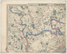
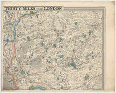
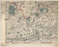
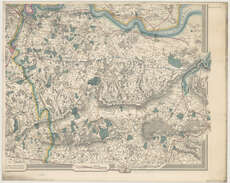
| Title: | Ordnance Survey of the country thirty miles round London. (Additions to 1859). |
| Imprint: | London : G. F. Cruchley, [1864?] |
| Pagination: | 1 map on 4 sheets. |
| Shelfmark: | Map.l.24.24 |
| Zoom Into Map: | Click on the map to view in greater detail. |
| Notes: | Scale 1:63,360 |
| Zoom Into Map: | Click on the maps below to order image or view in greater detail. |