County maps, 1580s-1950s
| Name: | J. & W. Emslie. |
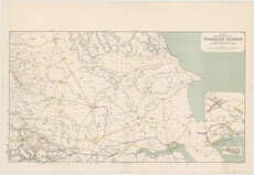
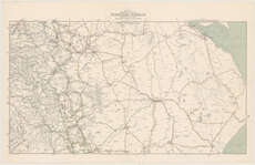
| Title: | Official railway map of the Yorkshire district. Prepared and published at the Railway Clearing House, London ... / (drawn and engraved by J. & W. Emslie). |
| Imprint: | London, 1918. |
| Pagination: | 1 map on 2 sheets. |
| Shelfmark: | Map.l.31.54 |
| Notes: | Scale ca. 1:126,720 |
| Zoom Into Map: | Click on the maps below to order image or view in greater detail. |
 |
 |