County maps, 1580s-1950s
| Field | Content |
|---|---|
| Name: | Greenwood, C. (Christopher), 1786-1855 Creighton, R Fowler, William Samuel John Neele & Son. |
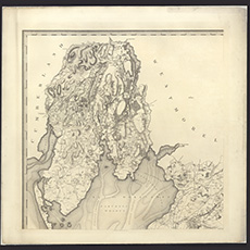
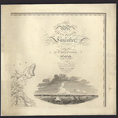
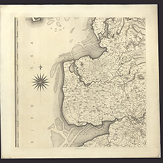
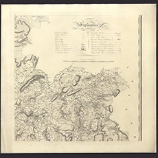
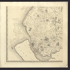
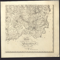
| Title: | Map of the County Palatine of Lancaster from an actual survey made in the year 1818 |
| Imprint: | Wakefield : W. Fowler & C. Greenwood London, 1818 |
| Pagination: | 1 map on 6 sheets ; sheets ca. 80 x 82 cm (ca. 31 x 32 inches) |
| Notes: | Scale: 1 inch to a mile. |
| Shelfmark: | EME.s.147 |
| Zoom Into Map: | Click on the maps below to order image or view in greater detail. |