Estate Maps, 1750s-1900s
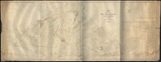
| Title: | Plan of the Farms of Comrie, Tarvie, Craigdarroch, Achelty & Coulnuisk parts of the Estate of Coul 1855 |
| Imprint: | 1855 |
| Pagination: | 1 map : col. ; 98 x 252 cm. |
| Shelfmark: | Coul Estate 1855 |
| Notes: | Courtesy of the North of Scotland Archaeological Society and Coul Estate. |
| Zoom Into Map: | Click on the map to view in greater detail. |