Estate Maps, 1750s-1900s
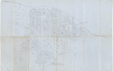

| Title: | [Plan of the land of Clunes] |
| Imprint: | 1910s ? |
| Pagination: | 1 map; 47 x 70 cm. |
| Shelfmark: | Lovat040 |
| Notes: | An undated, un-signed map Courtesy of Lovat Highland Estates and the North of Scotland Archaeological Society. View Lovat Highland Estates mapping |
| Zoom Into Map: | Click on the map to view in greater detail. |