Estate Maps, 1750s-1900s
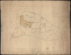

| Title: | Plan of the Lands of Meikle Castlegower in the Parish of Kelton |
| Imprint: | c.1830 |
| Pagination: | 1 manuscript map: col.; 66 x 83 cm. |
| Shelfmark: | GGD436/20 |
| Notes: | Courtesy of the Ewart Library through the Dumfries Archival Mapping Project. |
| Zoom Into Map: | Click on the map to view in greater detail. |