Estate Maps, 1772-1878
Map details:
| Field | Content |
|---|
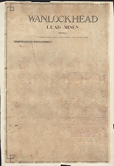
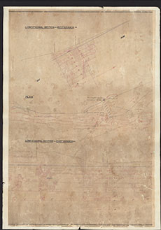
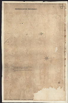
| Title: | Wanlockhead Lead Mines Plan and Transverse and Longitudinal Sections. On 3 Sheets
Covering South Glencrieff, West Branch and East Branch |
| Imprint: | [19th century] |
| Pagination: | 3 manuscript maps : col.; 100 x 65 cm.; 100 x 67 cm.; 100 x 64 cm. |
| Shelfmark: | RHP37954 |
| Notes: | Courtesy of Buccleuch Estates through the Dumfries Archival Mapping Project |
| Zoom Into Map: | Click on the maps below to order images or view in greater detail. |
Copyright Enquiries & Copies Help