Kitchener's Survey of Cyprus, 1882

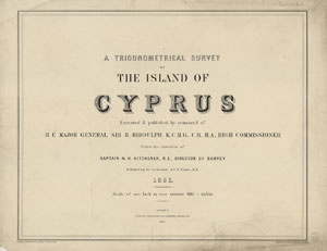
Title Sheet for the Map Set

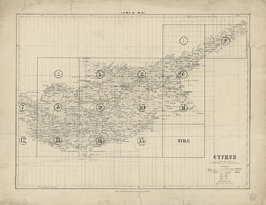
Index Map for the Map Sheets
The first full triangulated survey of the island of Cyprus, carried out in 1878-1882 by H.H. Kitchener (later Field Marshall Earl Kitchener).
- Further information on this set of maps
- View the individual map sheets using a graphic index covering Cyprus
- View a seamless layer of all the sheets as a mosaic on a Google maps base
| Sheet Number | Date of Survey | Date of Publication |
| Title Sheet | 1882 | 1885 |
| Index Map | 1882 | 1885 |
| Sheet 1 - Leonarisso | 1882 | 1885 |
| Sheet 2 - Rizokarpaso | 1882 | 1885 |
| Sheet 3 - Pyrgo | 1882 | 1885 |
| Sheet 4 - Morphou | 1882 | 1885 |
| Sheet 5 - Nicosia | 1882 | 1885 |
| Sheet 6 - Trikomo | 1882 | 1885 |
| Sheet 7 - Khrysokhou | 1882 | 1885 |
| Sheet 8 - Lefka | 1882 | 1885 |
| Sheet 9 - Pera | 1882 | 1885 |
| Sheet 10 - Larnaka | 1882 | 1885 |
| Sheet 11 - Famagusta | 1882 | 1885 |
| Sheet 12 - Paphos | 1882 | 1885 |
| Sheet 13 - Evdimou | 1882 | 1885 |
| Sheet 14 - Limassol | 1882 | 1885 |
| Sheet 15 - Mazoto | 1882 | 1885 |
