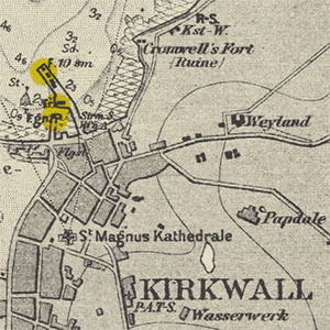
German naval charts, 1938-1945

This small set of 21 charts of Scottish and British waters were produced by the German navy, the Oberkommando der Kriegsmarine in Berlin. Most were published during the Second World War, with a few earlier examples. In all cases these used British Admiralty charts as their primary source material, with no significant changes to hydrographic content. Some place names and descriptive topographic terms, titles, compass roses, abbreviations, legends, revision and publication details, and supporting marginal information were all re-written and printed in German. The numbering system is that followed by the Kriegsmarine. The charts provide an interesting illustration of capturing and re-using enemy mapping, as well as the importance of hydrographic intelligence in wartime.
- Search for German naval charts with a graphic index
- Search for all coastal and Admiralty charts (no bounding boxes shown)
