Agricultural Land Classification of England and Wales, 1960-1972
Introduction
The Agricultural Land Classification maps provide a framework for classifying land according to the extent to which its physical or chemical characteristics impose long-term limitations on agricultural use. The limitations can operate in one or more of four principal ways. They may affect:
- the range of crops which can be grown
- the level of yield,
- the consistency of yield
- the cost of obtaining the crops
The Classification was introduced by the Ministry for Agriculture, Fisheries and Food (MAFF) in the 1960s, with assistance from the Soil Survey of England and Wales, and the Welsh Office Agriculture Department on land use planning matters. The classification system attaches considerable importance to actual or potential flexibility of cropping, but the ability of some land to produce consistently high yields of a somewhat narrower range of crops is also taken into account.
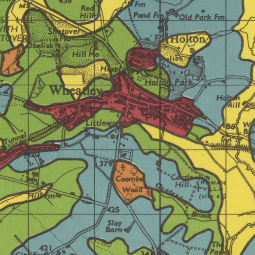
The Agricultural Land Classification maps use Ordnance Survey One-inch to the mile Seventh Series maps for their base topography, and a coloured overprint to indicate the respective land classification category.
Guide to the main Agricultural Land Classification categories

- Grade 1 - excellent quality agricultural land
Land with no or very minor limitations to agricultural use. A very wide range of agricultural and horticultural crops can be grown and commonly includes top fruit, soft fruit, salad crops and winter harvested vegetables. Yields are high and less variable than on land of lower quality. - Grade 2 - very good quality agricultural land
Land with minor limitations which affect crop yield, cultivations or harvesting. A wide range of agricultural and horticultural crops can usually be grown but on some land in the grade there may be reduced flexibility due to difficulties with the production of the more demanding crops such as winter harvested vegetables and arable root crops. The level of yield is generally high but may be lower or more variable than Grade 1. - Grade 3 - good to moderate quality agricultural land
Land with moderate limitations which affect the choice of crops, timing and type of cultivation, harvesting or the level of yield. Where more demanding crops are grown yields are generally lower or more variable than on land in Grades 1 and 2. - Grade 4 - poor quality agricultural land
Land with severe limitations which significantly restrict the range of crops and/or level of yields. It is mainly suited to grass with occasional arable crops (e.g. cereals and forage crops) the yields of which are variable. In moist climates, yields of grass may be moderate to high but there may be difficulties in utilisation. The grade also includes very droughty arable land. - Grade 5 - very poor quality agricultural land
Land with very severe limitations which restrict use to permanent pasture or rough grazing, except for occasional pioneer forage crops.
Descriptions of other land categories used on the maps
- Urban
Built-up or 'hard' uses with relatively little potential for a return to agriculture including: housing, industry, commerce, education, transport, religious buildings, cemeteries. Also, hard-surfaced sports facilities, permanent caravan sites and vacant land; all types of derelict land, including mineral workings which are only likely to be reclaimed using derelict land grants. - Non-agricultural
'Soft' uses where most of the land could be returned relatively easily to agriculture, including: golf courses, private parkland, public open spaces, sports fields, allotments and soft-surfaced areas on airports/ airfields. Also active mineral workings and refuse tips where restoration conditions to 'soft' after-uses may apply. - Woodland
Includes commercial and non-commercial woodland. A distinction may be made as necessary between farm and non-farm woodland. - Agricultural buildings
Includes the normal range of agricultural buildings as well as other relatively permanent structures such as glasshouses. Temporary structures (e.g. polythene tunnels erected for lambing) may be ignored. - Open water
Includes lakes, ponds and rivers as map scale permits. - Land not surveyed
Agricultural land which has not been surveyed
Further information
Ministry of Agriculture, Fisheries and Food, Agricultural Land Classification of England and Wales (Middlesex, 1988). Download PDF (2.7Mb)