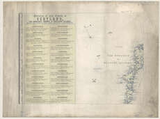
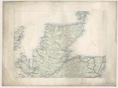
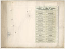
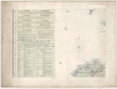
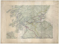
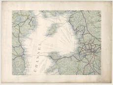
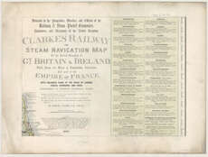
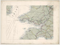
Maps of Great Britain
| Field | Content |
|---|---|
| Name: | Clarke, Samuel. |
| Title: | Clarke's railway and steam navigation map of the United Kingdom of Gt. Britain & Ireland, the Isle of Man & Channel Islands and part of the Empire of France ... / by Samuel Clarke. |
| Imprint: | [London], 1860 [1861] |
| Pagination: | 1 map on 21 sheets. |
| Shelfmark: | Map.l.29.37 |
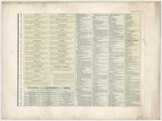
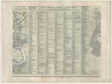
| Notes: | Statistical Tables. Missing sheets 2, 3, 12, 15, 17, 18, 19, 21, including the plan of Edinburgh and part of the plans of London and Paris.;With enlarged plans of the cities of London, Dublin, Edinburgh and Paris. |
| Zoom Into Map: | Click on the maps below to order image or view in greater detail. |