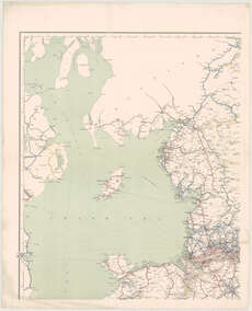
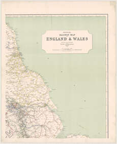
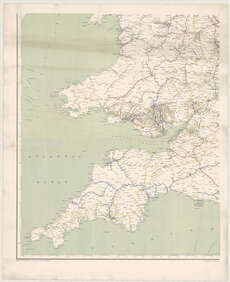
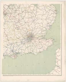
Maps of England and Wales
| Field | Content |
|---|---|
| Name: | J. & W. Emslie. |
| Title: | Official railway map of England & Wales. Prepared ... at the railway clearing house, London ... Scale ... 1:475,200 / (drawn and engraved by J. & W. Emslie). |
| Imprint: | London, 1906. |
| Pagination: | 1 map on 4 sheets. |
| Shelfmark: | Map.l.9.26 |
| Notes: | Scale 1:475,200 |
| Zoom Into Map: | Click on the maps below to order image or view in greater detail. |