Maps of Europe
| Field | Content |
|---|---|
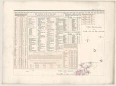
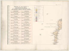
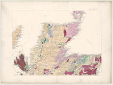
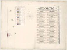
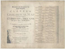
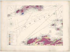
| Title: | Clarke's geological map of the United Kingdom of Gt. Britain & Ireland, the Isle of Man & Channel Islands, and parts of France & Belgium ... / by Samuel Clarke. |
| Imprint: | London, 1860[1861] |
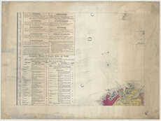
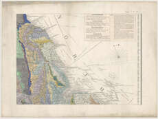
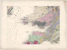
| Pagination: | 1 map on 21 sheets. |
| Shelfmark: | Map.l.29.38 |
| Notes: | Scale not given. We only hold 12 of the original 21 sheets published - those sheets we hold can be viewed below. |
| Zoom Into Map: | Click on the maps below to order image or view in greater detail. |