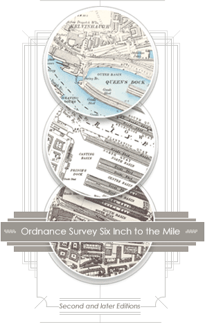
Ordnance Survey Maps - Six-inch 2nd and later editions, Scotland, 1892-1960
The most comprehensive, topographic mapping covering all of Scotland from the 1890s. Regular updates in the 20th century for urban or rapidly changing areas to the 1960s.
Browse the maps:
- As individual sheets using a zoomable map of Scotland
- As a seamless zoomable overlay layer on modern Google and OS maps
- By map sheet number (eg. Renfrewshire Sheet XI.NW) – county text lists
See also:
- Guide to abbreviations – alphabetical list of standard OS abbreviations
- Guide to symbols – OS Characteristics Sheet (1897)
- Characters of writing – OS Lettering Styles (1897)
- Conventional signs and writing – OS Symbols and Lettering (ca. 1923)
- List of Scottish counties, with their changes of meridian, dates of survey and publication.
- Further information: