Coastal and marine charts, 1580s-1900s
| Field | Content |
|---|---|
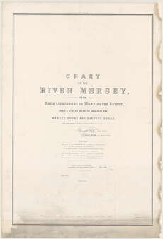
| Name: | Parks, Murray T. |
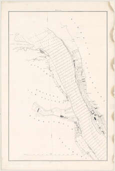
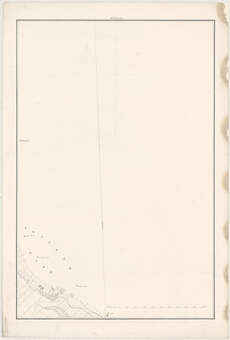
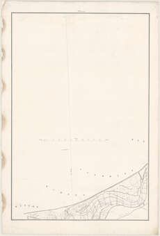
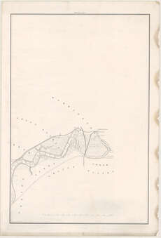
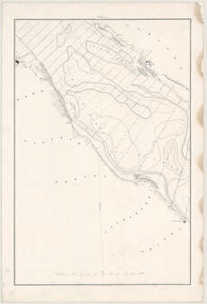
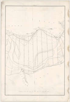
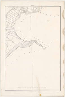
| Title: | Chart of the River Mersey from Rock Lighthouse to Warrington Bridge... / [by] Murney T. Parks... [assisted by] Graham H. Hills. (Maclure, Macdonald & Macgregor Lithogrs.). |
| Imprint: | [Liverpool] : J. Harrison for the Mersey Docks and Harbour Board, 1864. |
| Shelfmark: | Map.l.37.1 |
| Zoom Into Map: | Click on the maps below to order image or view in greater detail. |