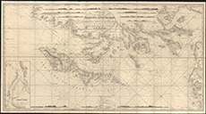
Coastal and marine charts, 1580-1850
| Field | Content |
|---|---|
| Name: | Norie, J.W. |
| Title: | New and improved chart of the Hebrides or Lewis Islands and Adjacent Coast of Scotland from the Mull of Cantire to Cape Wrath / Drawn from the latest surveys by J.W. Norie. |
| Imprint: | London : JW Norie & Co 1816 [i.e. 1851] |
| Pagination: | 1 map : sectioned and mounted on linen ; 75 x 142 cm., folded to 21 x 13 cm. |
| Shelfmark: | EMS.b.2.10 |
| Zoom Into Map: | Click on the map to view in greater detail. |

