Belgium - Second World War military mapping
These maps were created by the Geographical Section of the General Staff (GSGS) and were used by the Allies during the Second World War. These georeferenced and mosaiced layers were created as part of a project on military aerial imagery held by The National Collection of Aerial Photography, based at RCAHMS.
- GSGS 4042 (1:250,000) - 1937-42. This series is a revised version of a First World War map. The information gathered from aerial reconnaissance imagery was added to most areas. In the remaining areas, alterations were based on the best available French, Belgian and Dutch maps.
- GSGS 4336 (1:100,000) - 1942-43. This series is a revised version of a First World War map. Information was mainly gathered from French 1:80.000 and Belgian 1:40.000 map series. Particular attention was paid, using aerial reconnaissance imagery, to the revision of railways and roads.
- GSGS 4040 (1:50,000) - 1943-44. This series was first prepared in 1938-1939. The sheet lines of this series are unlike other 1:50.000 series and have no relationship to any local series either French or Belgian. The sheets which cover Belgium were compiled from local 1:20.000 and 1:40.000 series maps.
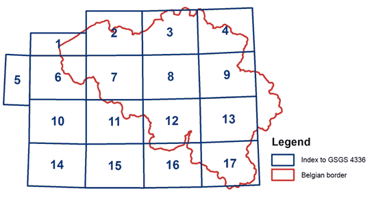
GSGS 4336: Graphic Index for map sheets 1-17.
Please note that GSGS Series 4336 and 4040 do not provide total cover of Belgium.
Please note that GSGS Series 4336 and 4040 do not provide total cover of Belgium.