Blaeu Atlas of Scotland, 1654
| Field | Content |
|---|---|
| Name: | Blaeu, Joan, 1596-1673 |
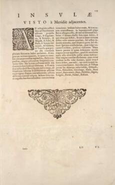
| Title: | Insvlae Visto a Meridie adjacentes |
| Pagination: | 129 |
| Zoom view: | Click on the image to view in greater detail |
| 134 / 162 Scroll through pages: 


 | |
Translation of text:
ISLANDS
lying near UIST on the south. (Section Note)
Eighty miles from Skye to the north west extend Lingeigh, Greanamul, Berneray, Mingulay, Pabbay, Flodaigh, Maol Domhnaigh, Sandray, and Vatersay, which besides very many other conveniences has an anchorage capable of taking many large ships, into which at fixed times a large number of fishermen customarily gather from all the surrounding regions. These nine last-named island are under the lordship of the Bishop of the Isles. Two miles from Vatersay is Barra, seven miles long, stretching from south west to north east: not infertile in crops; especially known for haddock fishing. Into this pours a gulf of the sea with narrow jaws: inside it rounds out more widely. It has one island, and on it a fortified castle. At the northern end of Barra a hill rises up, grassy from foot to summit: from the summit spouts a spring of fresh water; the stream that flows down from it carries down with it into the neighbouring sea some minute, but still unformed animals, which seem to some extent, but obscurely to present the shape of the small shelled creatures we commonly call snails. The part of the shore to which they are carried down is called by the people the great sands, because when the tide ebbs there more than a mile of sand is laid bare; from here large shellfish are dug out, which those who live nearby believe are either born from that stock which the stream carries down from the spring, or at least grow in the sea from it. Between Barra and Uist lie these small islands in order: Orasaigh, Eilean nan Caorach [?], Eilean na Hakersait [?], Garbh Lingeigh, Flodaigh, Fuidheigh, Eilean Sheumais, Hay [?], Hellisay, Gighay, Lingeigh, Fiaraidh, Fuday, Eriskay.


