Ordnance Survey Maps - Six-inch 1st edition, Scotland, 1843-1882
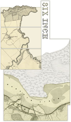
The first comprehensive topographic survey of Scotland.
Browse the maps:
- As individual sheets using a zoomable map of Scotland
- As a seamless zoomable overlay layer on modern satellite imagery and maps
- By map sheet number (eg. Sutherland, Sheet XXXI) – county text lists
See also:
- Woodland in Scotland viewer
- Guide to abbreviations – alphabetical list of standard OS abbreviations
- Guide to symbols – zoomable OS Characteristics Sheet
- List of Scottish counties, with their changes of meridian, dates of survey and publication.
- Background essay – a 'Scottish Paper Landscape'.
- Within the above: "Railway" additions and related variant states (added Sept 2021).