Ordnance Survey Maps - Six-Inch Ireland, 1829-1969
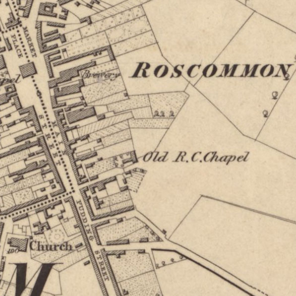
The most comprehensive, topographic mapping covering all of Ireland, and Northern Ireland, from the 1820s to the 1960s.
For later six-inch mapping of Northern Ireland from the 1960s, view the Irish Grid Series (1960s-1970s).
Browse the maps:
- As individual sheets using a zoomable map of Ireland
- As a seamless zoomable overlay layer (1840s-1880s) on modern satellite imagery and OS maps
- Compare 1st edition (1840s-1880s) with 2nd edition (1888-1915) side-by-side
- As a seamless zoomable overlay layer (1888-1915) on modern satellite imagery and OS maps
- By map sheet number (eg. Galway, Sheet 20) – county text lists
See also:
- Guide to abbreviations – alphabetical list of standard OS abbreviations
- Guide to symbols – OS Characteristics Sheet (first edition)
- Guide to symbols – OS Characteristics Sheet (1897)
- Characters of writing – OS Lettering Styles (1897)
- Conventional signs and writing – OS Symbols and Lettering (ca. 1923)
- List of counties, with their dates of survey.